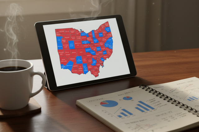
Battleground States Launch Real-Time Maps for Ballot Drop Boxes
Swing states deploy interactive mapping tools to help voters easily locate secure, official ballot drop boxes for the 2026 midterm elections.

A Digital Solution to an Ongoing Search
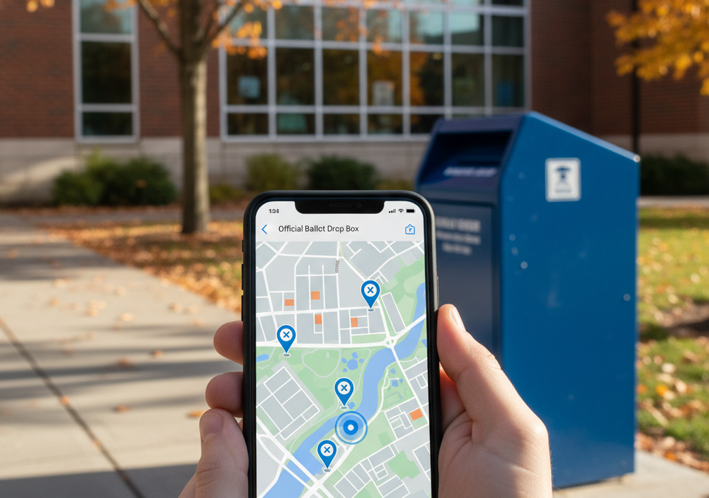
As the November 3, 2026, midterm elections approach, election officials across key swing states are turning to a simple digital tool to solve a persistent headache: finding a secure place to drop off a mail-in ballot. Internet searches for “ballot drop box near me” typically skyrocket in the final weeks of October. This year, battleground states like Pennsylvania, Wisconsin, and Arizona are ready with live, interactive mapping platforms designed to guide voters directly to verified, secure collection sites.
The stakes are high. For years, confusion over where to safely return mail-in ballots has fueled partisan battles and conspiracy theories. By putting geographical information system (GIS) technology into the hands of the public, election administrators hope to bypass the noise entirely.
How the Technology Works
The new maps are more than static PDF lists. Built on cloud-based mapping platforms, they offer real-time updates on box availability, collection hours, and even wait times at high-traffic hubs.
“We wanted to make finding a drop box as easy as finding a local coffee shop,” says Sarah Jenkins, an election logistics coordinator in Wisconsin. “If a box is temporarily closed for maintenance or has reached its capacity before the next scheduled pickup, the map reflects that instantly. It keeps voters from making wasted trips.”
In Pennsylvania, where drop box locations can vary wildly by county, the state’s updated tool uses smartphone geolocation. A voter can open the portal, allow location access, and immediately see a map pinpointing the closest official boxes within their county lines. Crucially, the system lists the exact collection times and provides turn-by-turn driving or walking directions.
Security and the Fight Against Bad Information
Security remains a massive talking point. In past election cycles, unauthorized drop boxes set up by third-party groups sowed deep confusion. Some voters unknowingly left their ballots in unofficial containers, leading to legal challenges and thrown-out votes. The interactive maps serve as an official seal of approval. If a drop-off site does not show up on the state’s verified registry map, it is not official.
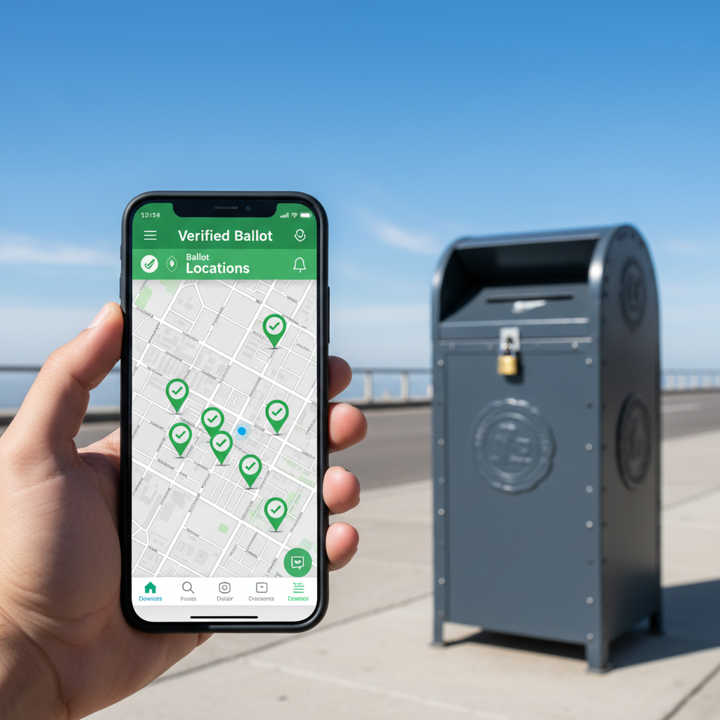
“This is about trust,” explains Marcus Vance, a cybersecurity analyst. “When voters can verify a location through an official government database linking to their GPS, it shuts down disinformation and gives them peace of mind.”
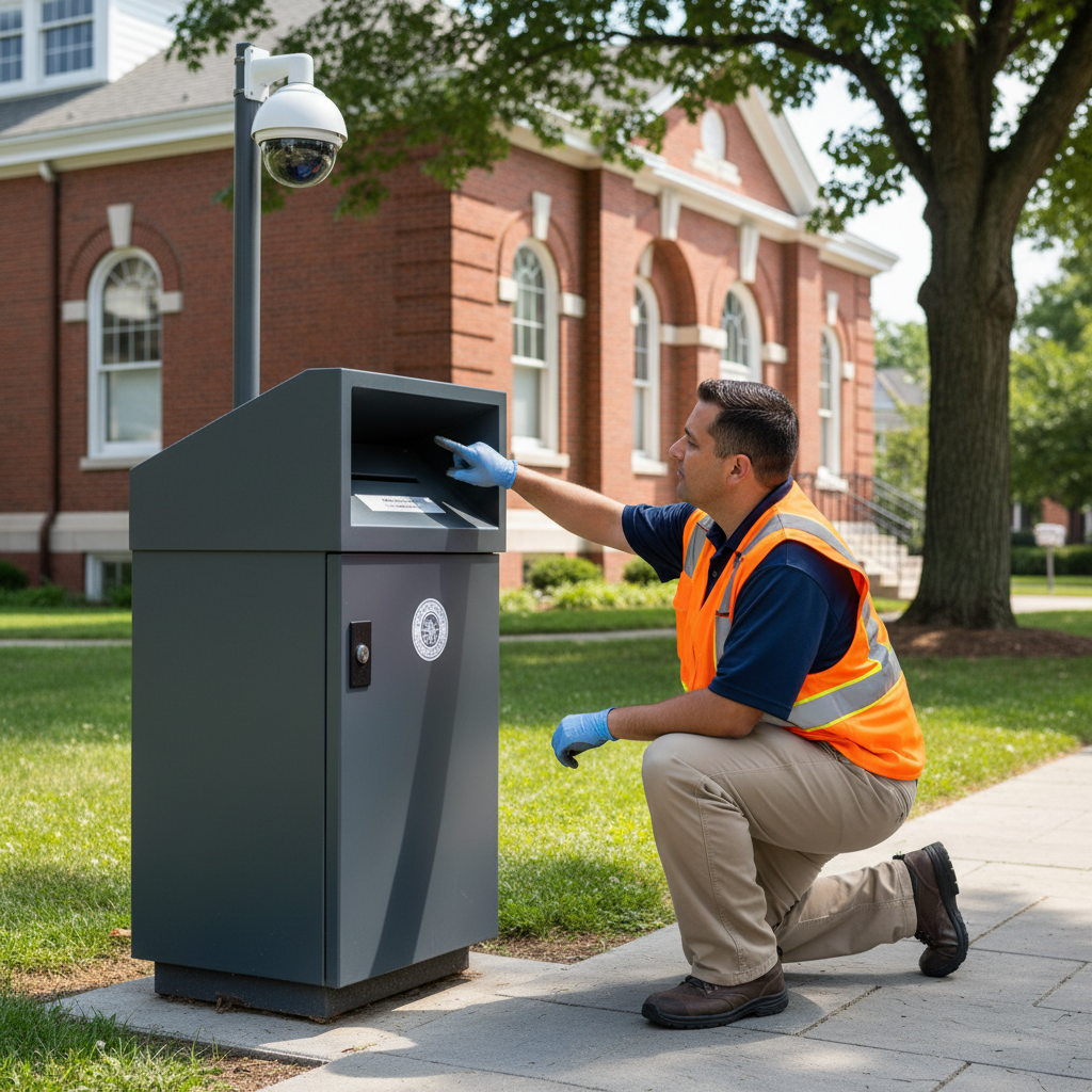
Most of these mapped boxes are under 24-hour video surveillance. Many are bolted to concrete plazas outside municipal buildings, police stations, or libraries. The digital maps often include photos of the actual boxes so voters know exactly what to look for when they arrive.
Navigating Shifting Legal Ground
The rollouts come amid shifting local laws. In some battleground states, rules have changed multiple times. Wisconsin’s supreme court restricted and then restored drop boxes. Keeping up with these judicial swings is exhausting for workers and baffling for voters.
“The legal ground keeps shifting under our feet,” Jenkins says. “But our goal remains the same: run a smooth election. If the law allows drop boxes, we need to make sure voters know where they are, without any guesswork.”
In Georgia, where state law limits hours and mandates indoor placement at early voting sites, the maps reflect these boundaries. Fulton County voters see building hours and alerts reminding them when boxes are locked.
The Impact on Voter Turnout
Convenience is key, particularly for shift workers, medical staff, and parents who rely on the flexibility of secure boxes.
Take Elena Rostova, a nurse in suburban Detroit. During the last election cycle, she struggled to find an open drop-off site that fit her 12-hour shift schedule.
“I didn’t want to rely on the mail because I waited until the weekend before the election,” Rostova says. “Having a live map that showed me a 24-hour box right outside the local library—and confirmed it was open and monitored—made all the difference. I was able to drive by at midnight, drop my ballot, and get home.”
Michigan’s Secretary of State office has leaned into this tech to reduce lines at traditional polling stations on November 3 by smoothing out mail-in returns.
Looking Ahead to November 3
As election day draws closer, county workers are conducting final audits, checking locks, cleaning camera lenses, and running test pings to ensure coordinates are correct.
While some critics argue that the reliance on digital tools could exclude voters who lack reliable internet access, states are countering this by partnering with local libraries and community centers. These locations will host physical printouts of the maps and provide computer terminals where staff can help residents search.
It is a massive operational puzzle. Yet, in an era where election administration is scrutinized under a microscope, simple clarity is the ultimate defense. By turning a complex logistical network into a clear, clickable map, election officials are hoping to make the 2026 midterms less about administrative confusion and more about the simple act of voting.